
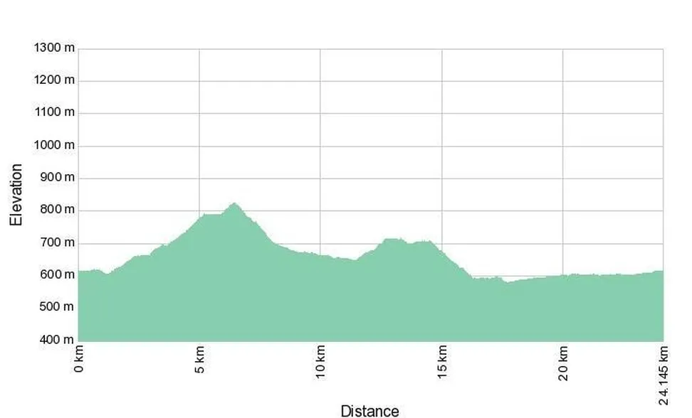
Elevation profile of the route
Download GPX file of the trail
The circular trail begins in Begunje and follows a forest path past the Brejnic spring, through the Koželj Gorge and the village of Kožljek, to Dobec, through Bezuljak, and back to Begunje.
Part of the cycling route also runs along the Menišija Educational Nature Trail, where you can explore numerous karst phenomena, caves, abysses, forests, and typical karst meadows.
If you choose the parking lot at Dolenje Jezero as your starting point, you can cycle to Begunje along the foothills of Slivnica, past the village of Brezje. On your way back, you can return to Cerknica on the old road past the shooting range and Kamna Gorica. This way you avoid the main road between Cerknica and Begunje, which is less suitable for cycling due to traffic.
A map of all cycling routes in the mystical land of Lake Cerknica can be purchased at the Visitor Center Lake Cerknica at the favorable price of 2.00 €.
| Trail operator: | Menišija Tourist Association |

