Elevation profile of the route
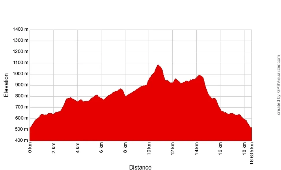
Download GPX file of the trail
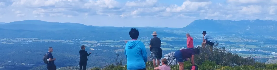
The lesser-known Javorniška baba peak lies just below the highest peak of the Javorniki hills, on the southern side of the ridge, and offers an outstanding view of the Pivka Basin, Snežnik, Sveta Trojica Hill, Nanos, Triglav and the Javornik Ridge behind our backs.
The path to the 1085-metre peak follows paths, trains and forest roads through vast forests and unspoilt nature, alongside numerous karst features. The route is not dangerous, but it requires the fitness to walk up the steeper hillside, and takes 5-6 hours.
Let yourself feel the pulse of nature, listening to the birds and the wind rustling through the treetops. All nature lovers are welcome, and the trail is also or especially suitable for karstologists, biodiversity researchers and geographers.

