We often monitor the status of populations at selected target sites. For planning short-term and long-term measures, a comprehensive overview of the management area and knowledge of the conservation status of habitats are essential.
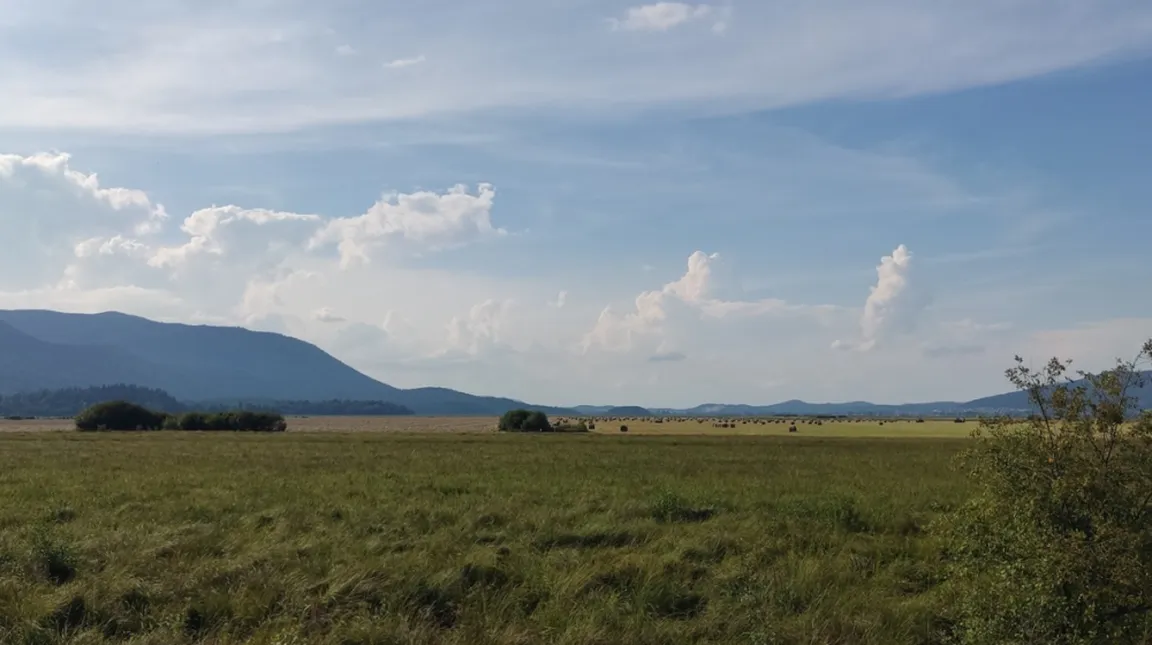
Therefore, within the LIFE FOR SEEDS project for preparing a plan to restore meadows on Lake Cerknica in 2021, we mapped land use, such as mowing, mulching, grazing, and encroachment. Within the LIFE TRŠCA project, we mapped land use for the purposes of drafting a management plan for wetlands. We prepared a technical article with a detailed presentation of the method of a simple land-use survey, which enables effective monitoring of the state of natural habitats.
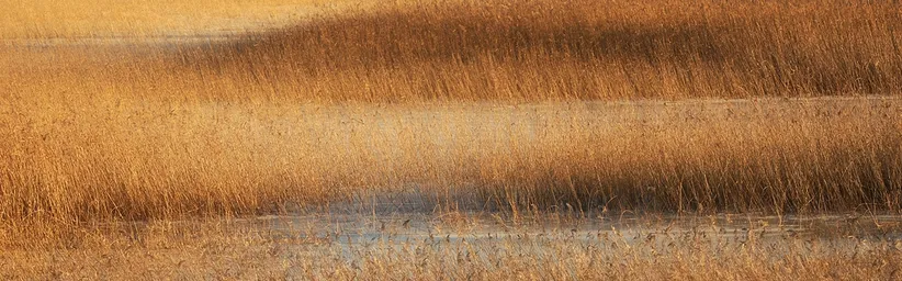
Land-use mapping is key for proper management of nature conservation areas, as it provides insight into actual changes in land use. In the case of Lake Cerknica, we found that in 2021 almost all areas suitable for mechanical mowing were mowed, which provides important insight into the dynamics of managing this area. The survey enables monitoring of different types of habitats, such as reed beds and bands of shrub vegetation, and enables rapid adjustment of management measures based on actual field data.
Such a method is extremely useful for monitoring on larger areas and can significantly contribute to preserving biodiversity, as it provides data on habitat condition and the impacts of human activities. The article offers practical instructions for carrying out surveys in other areas, enabling broader use of this method in conservation management.
The article was published in the journal Varstvo narave. You can read it in full at the link: https://zrsvn-varstvonarave.si/wp-content/uploads/2024/12/02_Krasevec_Jancar.pdf.