


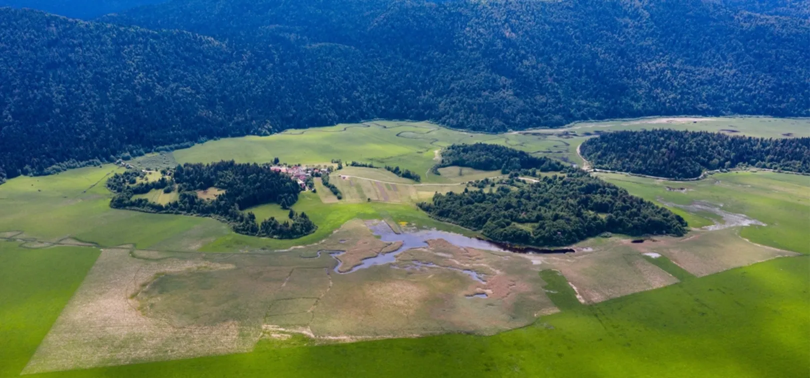


Projects in the Notranjska Park
The implementation of extensive nature conservation projects exceeds the financial capacity of the local community, therefore Notranjska Park regularly applies for projects with the possibility of co-financing by the European Union.
The implementation of large-scale conservation projects exceeds the financial capabilities of the local community, therefore Notranjska Park regularly applies for projects with the possibility of co-financing from the European Union.

