The plots are intentionally located directly near the very popular and visited educational trail 'Drvošec'. Six plots have been placed on the fenced site, currently marked with temporary signs.
The test plots are square plots, intended mainly for educational content, with dimensions 3 x 3 m. Around each plot there is a belt of mown surface 1 m wide. The belt allows pedestrian passage between the individual plots and enables discreet assessment of the condition on the individual squares.
Land-use forms follow a gradient of disturbance intensity. The disturbance regimes are:
- Plot: Mowing and harvesting once every 3 years
- Plot: Mowing and harvesting once every 2 years
- Plot: Mowing and harvesting once a year
- Plot: Mowing once a year, but without harvesting
- Plot: Intensive mowing and harvesting every 14 days
- Plot: Area not to be disturbed
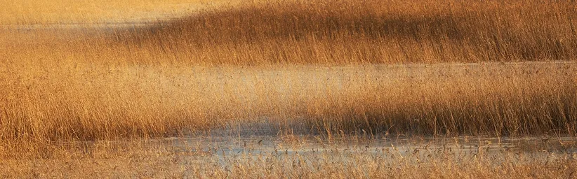
In the LIFE TRŠCA project, the first vegetation survey in the Pretržja area on Lake Cerknica took place between 7 June and 24 June 2024. The elevation of all six plots is 554 meters above sea level and they are located on the edge area of the annual regular floods of Cerknica Field. The area of each survey plot is 9 m².

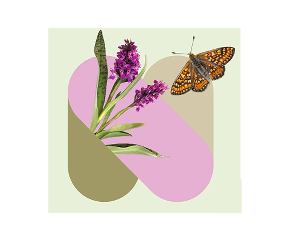
Common bedstraw (Galium mollugo)
In 2024 the minimum height of the herb layer on all plots was 1 cm. The maximum height of the herb layer is 132 cm, namely on polygon No. 3. The cover of the herb layer on all survey plots ranges between 75% and 90%. The greatest number of species, subspecies and groups of species — as many as 32 — was on the survey plot No. 6, which is without active management, i.e. the area not subjected to interference. The most represented species is grass from the red fescue group (Festuca rubra agg.). The cover with red fescue on all demonstration plots ranged between 51% and 75%. The species thrives mainly on less demanding soils and is more common on more extensive meadows. The second most represented species is common bedstraw (Galium mollugo) with a cover on individual plots up to 33%.
As an interesting note, it can be stated that on survey plot No. 2 a protected water iris (Iris pseudacorus) was also recorded, which is characteristic of swampy and wet habitats. The iris is threatened by overly frequent mowing and desiccation interventions.

The water iris (Iris pseudacorus) is the most water-bound among our irises.
For monitoring the effectiveness of management of the edge part of Cerknica plain, it will be important in the future to again conduct annual vegetation inventories. Only on the basis of monitoring can management decisions be scientifically justified, decisions that do not harm nature or preserve it.