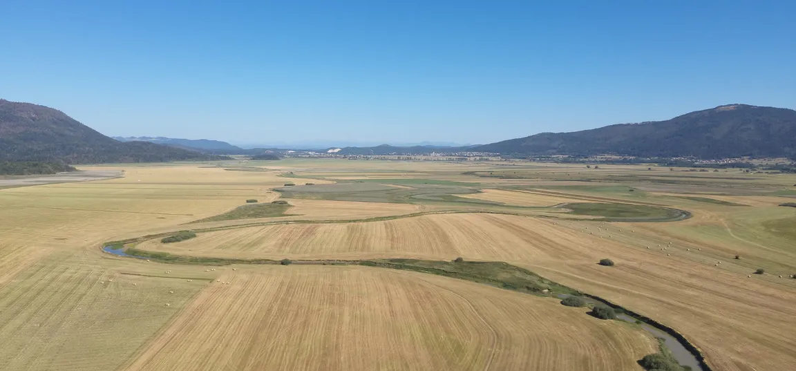
Drought conditions in the Cerknica Polje in mid-August 2026 (Photo: Matjaž Dovečar)
From May to mid-September, the landscape of Cerknica Polje changed several times. Satellite imagery allows us to track these changes over time and across the entire area, and to link them to land use and nature conservation.
Cerknica Polje is an area of rapid and significant change. Water bodies expand and recede, meadows are mown, and weather conditions shape the landscape. A short timelapse video shows how the area changed between May and mid-September 2026.
We monitor these changes through fieldwork, partly using drones, while satellite imagery provides another important source of data. As part of the LIFE TRŠCA project, we use satellite imagery to monitor land use, particularly the timing and extent of mowing, as well as changes in important habitats around Lake Cerknica.
Why do we monitor mowing?
Knowing where and when an area has been mown is important not only for understanding agricultural land use, but also for nature conservation. Around Lake Cerknica, the timing and spatial distribution of mowing can affect the living conditions of species associated with wet meadows and marsh habitats, including the corncrake (Crex crex).
It is not only the total area mown that matters, but also where and when mowing takes place and how much land remains unmown. Unmown areas can provide important habitat for certain species, particularly during periods when the surrounding mown areas are less suitable for them.
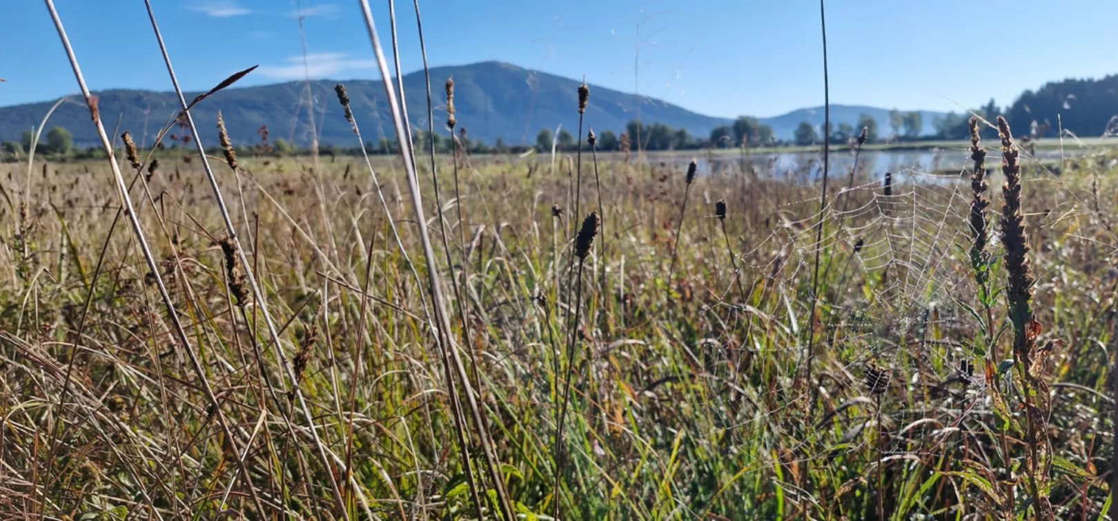
Meadows near Rešeto (Photo: Matjaž Dovečar)
A dry year raises new questions
This year's exceptionally dry conditions may have made it possible to mow larger areas than in a typical year. An analysis at the end of the year will show the total extent of mowing this year and how it compares with previous years.
Such conditions pose a particular challenge for nature conservation management. Measures must also account for years in which weather conditions alter the usual patterns of land use. It is important to ensure that sufficient areas remain unmown even under these circumstances, maintaining suitable living conditions for species that depend on them.
Through the LIFE TRŠCA project, we therefore aim to develop and implement measures that better reconcile agricultural land use with nature conservation. Reliable data are essential for monitoring actual conditions in the field, identifying changes and assessing the effects of different management practices.
From satellite imagery to better management
Satellite imagery allows us to monitor this large and dynamic area not only during individual field visits, but continuously over time and across the entire landscape. This provides valuable insight into changes in land use. However, understanding the consequences of these changes for nature also requires other types of data.
By combining land-use data with information on species occurrence and habitat condition, we can better understand how different management practices affect nature. This helps us identify effective practices, determine where improvements are needed and develop measures that better account for the needs of different species while maintaining agricultural land use.
The aim of the LIFE TRŠCA project is not simply to monitor change, but to use the knowledge gained to improve the management of Lake Cerknica. This means better reconciling agricultural land use with nature conservation and ensuring the long-term preservation of both.
Watch Cerknica Polje change over almost five months, from May to mid-September 2026.
Satellite data source: Planet Labs Germany GmbH, 2026.
LIFE TRŠCA
With LIFE TRŠCA we will improve the conservation status of the intermittent Lake Cerknica.
The implementation of extensive nature conservation projects exceeds the financial capacity of the local community, therefore Notranjska Park regularly applies for projects with the possibility of co-financing by the European Union.
The implementation of large-scale conservation projects exceeds the financial capabilities of the local community, therefore Notranjska Park regularly applies for projects with the possibility of co-financing from the European Union.