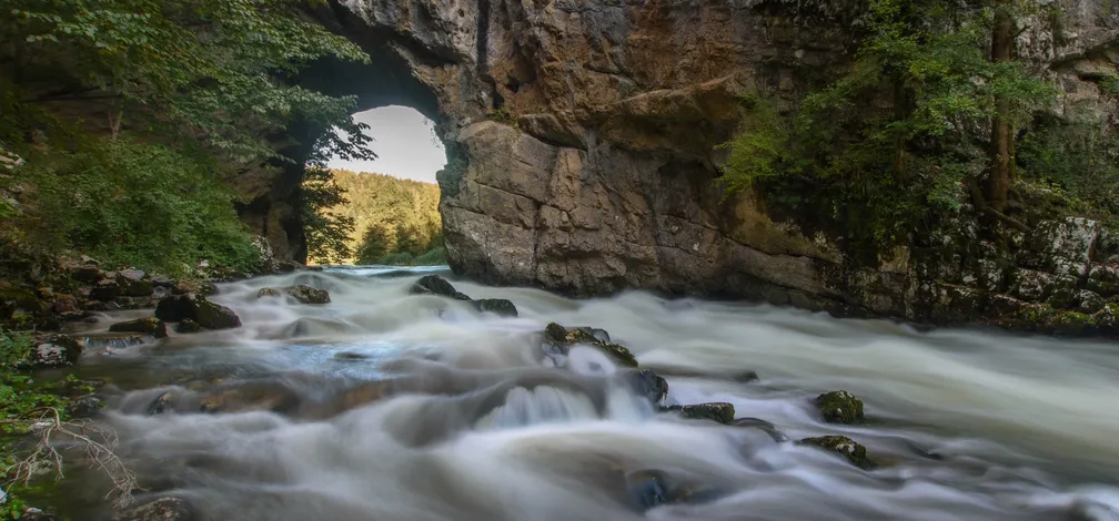
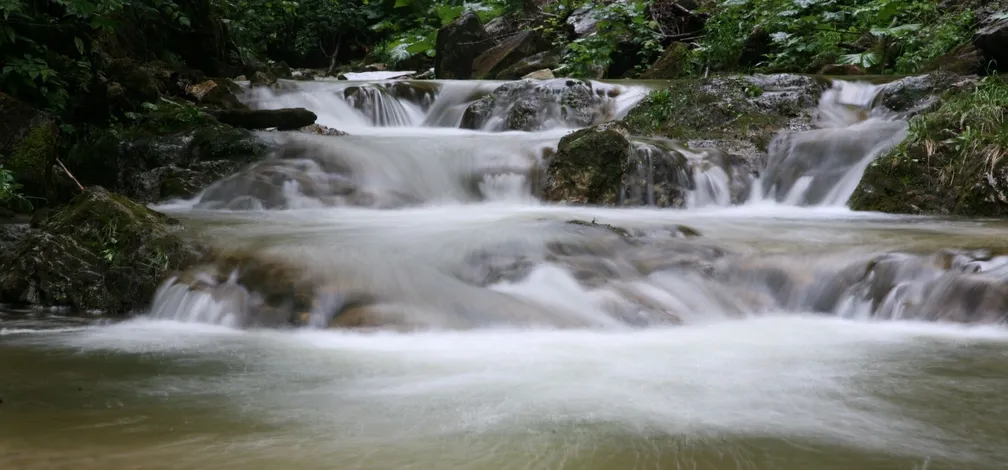
Discover karst phenomena, the geological history of the area, water flows, dry valleys, and karst caves that shape the unique landscape of the Notranjska Park. Learn how Lake Cerknica forms and how it changes throughout the seasons. The Notranjska Park area lies in the Dinaric world, consisting mainly of karstified plateaus and mountains, as well as intermediate lowlands and plains. A large part of the surface is formed by limestone and dolomite, and at the bottom of the karst plains Holocene alluvial deposits, consisting mainly of clay, silt, and sand, were deposited. The Notranjska karst plains were formed along the Idrija fault, which is one of the most important tectonic lines on Slovenian territory. In the Cerknica plain, along the Idrija fault, the rock beds are folded and overturned (Triassic and Jurassic dolomites and Jurassic and Cretaceous limestones), and it is precisely in the vertical and horizontal movements of these large masses of rock that the Cerknica plain was formed. In some places there were extensional openings, which could have been the cause for the formation of the basic basin. For the transformation into a true karst plain, external forces were of crucial importance, namely erosion, dissolution, movement of deposits and their redeposition.
The Notranjska Park area is characterized by a continental climate. The main climatic boundary with sub-Mediterranean influences is represented by the high Dinaric rims of the Trnovo Forest, Nanos, and Snežnik. Higher elevations and enclosed basins, where cold air collects, are the reason temperatures in this part of Slovenia are fairly similar. A characteristic phenomenon at the bottom of the karst plains is temperature inversion, which occurs mainly in the cold part of the year with less air movement. The proximity to the sea and higher elevations influence a relatively large amount of precipitation, which decreases from west to east.