Work package 7: Monitoring and evaluation

In this project, we will carry out numerous activities that will significantly improve the vitality of the reedbeds, especially in the areas of patches of open water, which are the principal nesting habitat of the Ferruginous duck and Red-necked grebe as well as other water birds and reedbed bird species. Changes in the populations of nesting reedbed bird species will be monitored during the 5 project years through mapping of reedbed bird species breeding territories and monitoring of Red-necked grebe and Ferruginous duck during breeding season.


T.7.1.i - Mapping of reedbed bird species breeding territories

To monitor the impact of changed land management on birds that nest in reeds, DOPPS will map their nesting areas. In total we will map about 300 ha of reedbed, i.e., 150 ha every other year of the project. DOPPS will provide equipment for fieldwork, and the NRP will purchase a canoe to enable access to more difficult-to-reach areas. DOPPS will develop the methodology, carry out inventories, process the data, and prepare annual reports on the state of bird populations. In the final year a concluding report will be prepared with an analysis of changes and an assessment of the project's impact.

Status: Task is in progress


Results:


T.7.1.ii - Monitoring of Red-necked grebe and Ferruginous duck in breeding season

Over five nesting seasons, DOPPS and NRP will conduct detailed monitoring of the Ferruginous duck and Red-necked grebe on Lake Cerknica. Monitoring will be conducted using four methods: observations from viewing platforms on the western edge of the lake, canoe-based counts, camera traps on open water surfaces in reedbeds, and drone surveys to locate nests. DOPPS and NRP will prepare an annual report on the status of the target species each year. In the final year of the project, an analysis of population changes and an assessment of the project's impact will be prepared.

Status: Task is in progress


Results:


Activities carried out in this project will significantly improve the vitality of marsh vegetation. We will monitor the changes during the 5 project years through monitoring the project’s impact on the vitality of reedbeds and monitoring of land management.


T.7.2.i - Monitoring the project impact on the vitality of the reedbeds

To assess the impact of different management practices on the vitality of reedbeds, UL BF will, over the five project years, carry out field and remote monitoring of reedbed condition in the Lake Cerknica area. The monitoring will cover six different reedbed types according to management (mowing every year, occasional mowing, no mowing) and hydrological conditions. Multispectral satellite imagery will be provided for the task's needs by NRP. Each year UL BF will prepare a report on the vitality status of reedbeds, and in the final year also a final report with an analysis of the impacts of different management practices and hydrological conditions on reedbed vitality.

Status: Task is in progress


Results:


T.7.2.ii - Land management monitoring

NRP will, over the five years of the project, monitor the impact of project activities on changes in land use and land management and on habitat status in the Lake Cerknica area. NRP will each year purchase four high-resolution satellite images for the entire lake area and drone images for key areas of vital reedbeds. Each year a report on land use and habitat status will be prepared. In the final year, an analysis of changes and an assessment of the project's impact will also be prepared.

Status: Task is in progress


Results:

In this project, we will carry out numerous activities that will gradually improve the water birds' habitat, while the harmful impacts of disturbance will be reduced. The nesting and wintering waterbird populations will gradually increase, which will be monitored by conducting waterbird surveys. We’ll also monitor the extent of water birds' disturbance with the help of an internet database.


T.7.3.i - Water birds monitoring

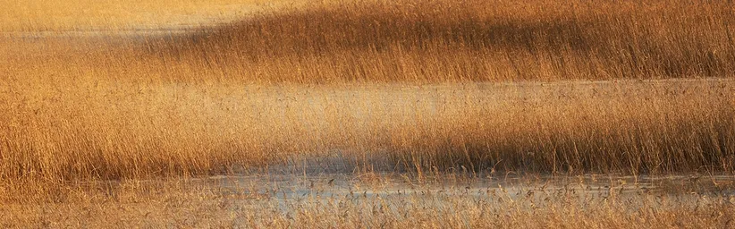
In a five-year period, in the area of the intermittent Lake Cerknica, we will regularly monitor water bird populations through observations at predetermined observation points. Counts will take place every 10 days, a total of 36 times per year. Additionally, we will survey floating water bird nests with the help of a drone. Each year a report on the results will be prepared, in the last year an analysis of changes and an assessment of the project's impact on water bird populations will also be prepared, including data on disturbances caused by visitors.

Status: Task is in progress


Results:


T.7.3.ii - Monitoring disturbance of water birds with the support of the Internet data base

During the project, we will monitor unwanted activities of visitors that cause disturbances to water birds. All members of the project partners will, during fieldwork, enter disturbance data – including park rangers, bird surveyors, vegetation, land use, and water regime. The data will be collected on site via a mobile application and entered into a GIS database to support land management. At least 200 records will be collected annually.

Status: Task is in progress


Results:

Water levels at intermittent Lake Cerknica are extremely variable and unpredictable. The extent and duration of the lake phase have a great impact on vegetation as well as on water birds' population size and their nesting success. For that reason, we will carry out an analysis of lake extent at various water levels. We will also monitor the characteristics of water levels in different areas of Cerknica field and the drying out of open water patches. All activities in this task will be coordinated by the Karst Research Institute.


T.7.4.i - Analysis of lake extent at various water levels         

Based on data on water levels and an accurate digital elevation model, IZRK ZRC SAZU will calculate the surface area and volume of Lake Cerknica at different water levels. Based on the entire set of hydrological data (1954–2022) and especially for the period of the last 10 years (2012–2022) the average duration of the lake phase for different parts of Cerknica field will also be calculated, thereby identifying trends in the water regime. IZRK will furthermore produce calculations and digital maps for the dry phase of the lake, when water remains only in river channels and in the Rešeto reservoir. 

Status: Task is in progress


Results:


T.7.4.ii - Additional measurements of water levels in selected areas and identification of local deviation of water levels from the theoretical horizontal level

Due to the scale and the complex hydrological regime, IZRK ZRC SAZU in collaboration with NRP will monitor the dynamics of flooding and drying on Cerknica field. We will analyze data from existing hydrological stations operated by ARSO, as well as data from new observation points that we will establish at the locations Zadnji kraj, Levišča and in the sedge near the confluence of Lipsenjščica and Stržen. The assessment of the actual state will be carried out by IZRK and NRP with field measurements using RTK GNSS and analysis of satellite images and the digital elevation model. For five years we will also monitor the drying of smaller water bodies – key habitats for the Ferruginous duck and Red-necked grebe.

Status: Task is in progress


Results:

LIFE TRŠCA

With LIFE TRŠCA we will improve the conservation status of the intermittent Lake Cerknica.

Work Package 6: Sustainability, replicability and exploitation
Back

Work Package 6: Sustainability, replicability and exploitation

Work Package 8: Communication and Dissemination
Next

Work Package 8: Communication and Dissemination

Projects in the Notranjska Park
Logotip notranjskega parka z rastlino in metuljem.

Projects in the Notranjska Park

The implementation of extensive nature conservation projects exceeds the financial capacity of the local community, therefore Notranjska Park regularly applies for projects with the possibility of co-financing by the European Union.

The implementation of large-scale conservation projects exceeds the financial capabilities of the local community, therefore Notranjska Park regularly applies for projects with the possibility of co-financing from the European Union.

Read more
Read more